We were up early on Friday morning and left Maria Inlet at 7.20.

It was a bit chilly and we were wearing warm jackets when we crossed the Tropic of Capricorn at 8.10. Finally we were in the tropics - wearing jackets and jerseys.


We motor sailed straight north the rest of the way passing Arch Rocks and Peak Island.

We sailed into a pretty bay and anchored at Great Keppel Island just after midday. It is the classic tropical island of calm clear water and golden sandy beaches with pretty shells. Unfortunately the weather wasn't tropical and only Robert went in for a swim to check out the sea life below the boat.


There were about 30 other boats anchored in the bays, including the caravel we had passed out of Bundaberg.

The weather remained overcast and a bit nippy over the next few days so we used the opportunity to go walking. Great Keppel Island has many walking tracks to various look out points. The walking tracks are reasonably rugged in a few places so our legs got a bit of a welcome workout
.

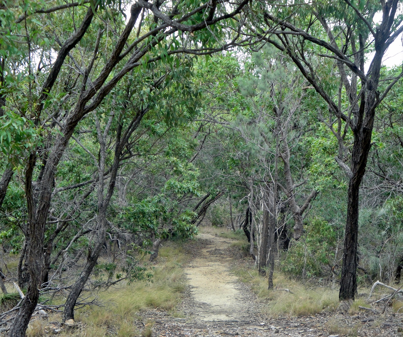
On the mainland the indigenous vegetation is mixed subtropical forest with a variety of tall trees, including gums and acacias, plants that in South Africa grow in horrible invasive monotonous thickets but here in their native environment no individual species get to dominate any area and they are just part of the rich mixture of trees in quite appealing forests and are quite attractive. On the islands the same species mixture occurs, but all the trees are stunted because the soils are thin and rainfall is less and the salty sea winds all make life quite tough for the trees.The result is that the islands have this wonderful indigenous stunted forest of gnarly twisted almost bonsai-like dwarf trees growing to about four or five meters, about a third of their normal size. And because the trees are stunted the forests would never been harvested for timber like the mainland and so the trees get to be very old and the forests quite pristine. Most of the islands are now Nature Reserves. Unfortunately some of the islands had been completely denuded by goats in the past are are now grassy and quite bare of trees
.

We walked along the long sandy beach and I collected some pretty shells which will remain as the island is part of the Australian Marine Reserve.

The sunsets were postcard beautiful.


The full moon rising on one of the evenings was particularly stunning.

On Monday, we woke up to rain - bizarre to be on a tropical island and the weather is too miserable to go out. The skies cleared after lunch time and we took the dinghy to putter about a nearby beach and go for a short walk.
On Tuesday morning we were up at sparrow's fart and sailed from Great Keppel Island before sunrise.
It was also Robert's birthday and although he did not get any presents (not yet Robert), what better way to spend a birthday than sailing along smoothly on a nice boat with great company (that would be me, Robert). He did get home made chocolate cupcakes. They were surprisingly good. Surprisingly because when it comes to the boat oven, we guess the temperature.

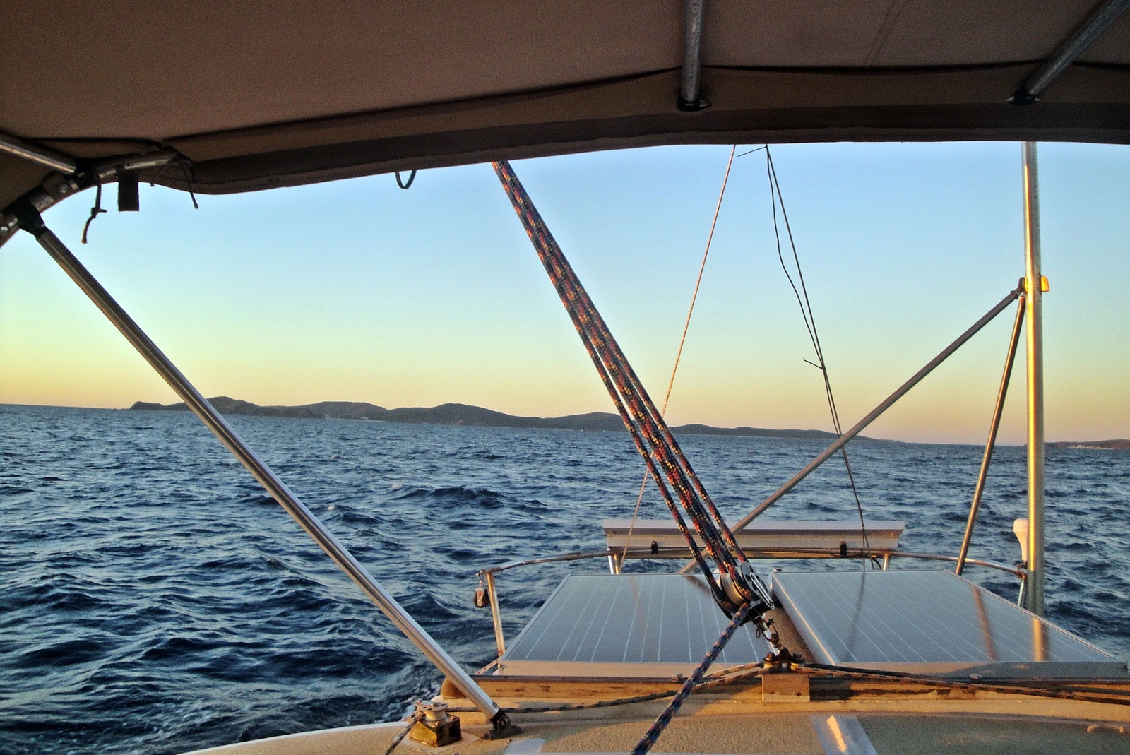
It was a long leg of almost 9 hours (45 nautical miles) to Port Clinton. The wind was good and we sailed all the way.
Port Clinton is a bit of a misnomer as there is no port, no jetty, no buoy, no sign of human interference. Instead it is a lovely unspoilt protective haven with calm water and a surprisingly deep hole of about 47 metres in the middle of the channel.
Anchoring was a bit tricky as we moved between 16 meters and less than 2 meters in a blink. Once anchored it was peaceful and only the sound of strange unidentifiable plops in the water.
Port Clinton is part of the Defence Department training area and going ashore is prohibited. I was quite happy to stay aboard as we were back in croc country and the quiet inlets have the look of harboring crocs.


The next morning we left early with the intention of sailing to Cape Townshend. We had researched the weather forecasts and allowed for a 2 day stay at Cape Townshend to escape pending high swells. However, as we left the entrance of Port Clinton, we encountered swells higher than forecast, with hardly any wind. Robert zig zagged about the planned route to make the most of the little wind but the roller coaster swells were very uncomfortable. After about 4 hours covering only 20 miles of a bumpy ride, we altered course to Island Head Creek which promised secure anchorage. It was a little tricky coming in as there are unseen shallow spots but all was good. There were several other boats who had seemingly made the same decision and already anchored so we puttered further down the creek to find our own spot hopefully clear of the drying sandbanks.

With no internet at Island Head Creek and no coastguard radio communication, we could not get a weather forecast but as the next morning seemed milder than the previous day, we headed out for Cape Townshend.

1 comment:
Gosh, I looked at the map and you are still not even half way through the Australia leg! There is quite a lot of Australia. Will you stop at any coral reefs?
Post a Comment