Monday 18 June 2018

Lizard to Gove


Lizard Island was fantastic, but we need to keep moving on. The winds calmed down and we had a forecast of fair weather for at least a week. In the next section of our journey we pass by many remote and pretty islands and the beautiful coastline of the vast, unspoiled and largely uninhabited York Peninsula, the north-eastern tip of Australia. But with long distances between anchorages and little chance of getting updated weather forecasts, we wanted to move fast and so we settled into a pattern of early morning starts and long days of fast sailing.
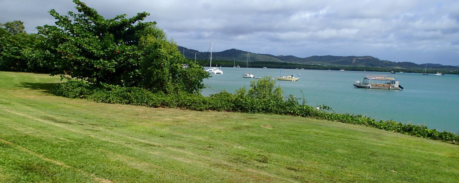
Early on Sunday 3rd June we left the paradise of Lizard Island for Cape Melville. After sailing for eight hours we anchored in the murky waters of Ninian Bay. We’re not expecting to enjoy any more coral reef snorkelling for some time: it’ll be all mud and crocodiles till we get to Indonesia.


Next day we were up and sailing by sunrise

The sea is quite shallow around here with extensive coral reefs and rocky hazards but they all seemed to be well marked. We didn’t get shipwrecked.


After Mondays early start and relatively short slow journey (34 miles in 6 hours) where we motored about half the time, we anchored in the channel in the middle of the spectacular islands of the Flinders Group for the night. 


We had enough time to go ashore and walk along part of the deserted Flinders Island.


It wasn’t always uninhabited - it had been used as a refreshment and re-provisioning stop for fishermen during the last century and by early colonial explorers in the century before that and by Aboriginal people in the centuries before that. Somewhere on these islands is a rather special piece of Aboriginal rock art depicting an early European sailing ship. I would have loved to see that but the exact location isn’t widely advertised and we landed up on the wrong side of the wrong island. 

There are also less interesting rock engravings made by crews of English early colonial ships and we found some scratchings that might be an example of that. Pretty illegible. 


The next day was another early start and a long, long sail, 10 and ½ hours! Not uneventful though, I caught my biggest and best fish to date, Spanish Mackerel for dinner for the rest of the week.


Morris Island, our overnight stop, is a comic-book-classic tiny deserted tropical island with one tall coconut tree and a long sand spit trailing off into the distant reefs.


The next day’s early start and long 9 hour plus sail took us to Portland Roads. The reefs cluster quite nearby to the mainland in this stretch and so the shipping lanes are forced to become narrow and we have to keep our wits about us to avoid getting too close to these monsters.


As soon as we anchored another kind of monster visited us. At about three meters it is the biggest shark I’ve ever seen:


Portland Roads is described in the guide book as an outpost of civilisation 250 miles north of Cooktown and 150 miles south of Cape York. In reality it is no more than the end of a long track for 4-wheel-drive explorers, a payphone, a bunch of beached fishing dinghys and half a dozen holiday houses, one of which doubles as a cafe advertising coffee and cake three mornings a week.


But still no Internet. There’s an aboriginal community nearby and Telstra, the Australian government telecom co, generally is quite good at providing cell phone services to these remote villages. The proprietor of the coffee-and-cake-selling holiday house told me that the big cell phone repeater got destroyed in “the wet”, which in Aussie speak means their Christmas-time monsoon storm season.

She also told me that the winds should remain calm for at least a few more days. Without access to the Internet and there being no VHF repeaters along this stretch of coastline, that information would have to suffice as our weather forecast. On AM radio we were able to pick up a local station broadcasting forecast temperatures for nearby towns (bloody hot everywhere), but in terms of wind conditions at sea all we heard was a DJ saying “Marine forecast ... hmm ... well ... I dunno ... I wouldn’t got out in a small boat today”. We had no choice but to sail on and hope that the coffee-lady was right. She was.

So after another early morning start and long sail we anchored in Shelburne Bay, where there’s nothing but empty beaches, muddy water, mangroves and crocodiles.


Nearby is Sunday Island, which features in the Mutiny on the Bounty story. After the mutiny Captain Bligh and a few loyal crew were given an open boat to try to get back to civilisation and they landed here briefly. They did eventually manage in their small open boat to sail to Kupang in Indonesia, which is also one of our intended destinations for about three or four months time. It’s incredible that they made it.


The next day we had to cover the longest stretch between viable anchorages on the whole of the Queensland coast, 65 miles.

We hadn’t seen any other sailing boats for about a week and then we came across this flotilla of seven brand new charter catamarans on a delivery journey, probably to the Whitsundays.


Eventually we anchored in the Escape River estuary, a site of lots of pearl farms. One of the security team was on shore checking us out ... We saw three crocs there.


Finally the series of long sails was behind us. On Saturday 9th we had a sleep-in, a late start and a short and enjoyable after lunch sail through the Albany passage, a narrow and spectacular channel between the mainland and Albany Island. We had to get the timing right for the tide and currents but otherwise it was quite easy.


We anchored just past the passage in Shallow Bay, where finally we were able to get cell phone reception! It was a weak and feeble signal even with the external antenna on our especially sensitive device, but we were able to download a weather forecast and were very happy to receive a few messages from friends and family.


Next day we sailed past the most northerly tip of mainland Australia! That spit of land on the left of the photo is Cape York.
 

We’d done it! We’d sailed “Over The Top”, an ambitious goal of many Aussie sailors. And very smug we are:


We spent a couple of nights anchored off the Aboriginal settlement town of Seisia.


That’s our fridge built into the floor below the dining table where Marcelle is inspecting expiry dates on groceries. We collected a few provisions from the local pricey supermarket. And I filled up all our diesel Jerry cans at the local garage. It boasts of being the most northerly one in Australia. It’s probably also the most expensive.
.


The Gulf of Carpentaria, that bite out of the top corner of Australia was our next formidable hurdle. It’s a vast shallow bay covering the latitudes where the tropical global ocean currents and trade winds are strongest and near where Australia meets Asia and where the Pacific ocean meets the Indian, all of which add up to giving it the notorious reputation for having an extremely complicated system of tides and currents and very uncomfortable boating.

The weather forecast was promising us a window of a few days of mild weather, and so we had to go for it. It turned out to be 339 Nautical Miles and took us 56 ½ hours to get across. This little island was our last view of Queensland.


Our first overnight sail was three days and two nights. The first day was OK.

Sunset with no land on the horizon in any direction:


The rest of the crossing was horrible! There was no moon and that night was really dark. The waves, although not huge, were steep and wild and rough and unpredictably came from different directions and I could not see them approaching or anticipate the resulting jerky boat motion and I became quite sick. The wind died down and the waves became much milder and we ended the journey motoring for 31 hours straight! We eventually anchored behind Bremer Island, the first bit of land on the Northern Territories side.

The next day we sailed to the little town of Gove. From the distance it appears to have a skyline of fairytale red-stone medieval towers and magic castles.


Closer-up it turns out to be the rusting desert-dust covered chimneys and industrial plants of the now largely defunct aluminium processing facility, as awful and ugly as can only be created by a big multinational corporation like Rio Tinto.

But the anchorage was secure, the boat club pub ashore was super friendly. And we have Internet, and a chance to update this blog.

Sunday 10 June 2018

Cooktown and Lizard Island


The strong wind was relentless at Hope Island, blowing constantly between 22 and 27 knots. At high tide the sea covered the surrounding reefs and the waves rolled over into the anchorage bouncing Pegasos around. On the second day we launched the dinghy to walk around the island. The wind was so strong that Robert secured the dinghy to the boat with a very long rope in case the dinghy engine died and we would be blown past the boat out to sea. We beached the dinghy and walked around the island. All 10 minutes of it. We did another lap. In good weather this must be a lovely island to snorkel and explore the surrounding reefs.

After 3 days of bouncing anchorage at Hope Island, we decided to move on to the security of Cooktown despite the strong wind. The forecast was strong south easterly wind continuing for at least 2 weeks and no improvement. According to Meteye it was going to get worse. The yellow area is 25 to 30 knot wind in our intended area of sailing north.
 
We waited for the tide to drop enough to see the submerged reefs and slowly motored out carefully following our previous inward GPS tracks between the reefs and Robert put up the front sail. It was no surprise that we were the only boat at sea other than a strange looking ship moving past in the shipping channel. It had no AIS signal so couldn't tell what it is.
 
It was a hectic sail. The wind remained around 25 to 28 knots and the swells were very steep and short. The boat rode up and down and the wind hammered from behind. The hem of the foresail tore loose. Occasionally a larger swell picked the boat up and pushed us almost sideways down the swell.
 
After 3 hours of horrible lurching we reached the mouth of the Endeavour River into Cooktown. Robert furled the sail and switched on the engine. We needed to turn to port to enter and took the swells side on as he manoeuvred the boat to the first set of channel markers. It was the moment the wind decided to reach 31 knots. The water was wild! He gunned the engine through the markers as the swells churned around. Just before the second set of channel markers a larger swell crashed into the side and shot water into the cockpit. We could see calmer water at the third set of markers and people strolling on the headland. Then we were through! What a relief.
 
The Endeavour River mouth has a large wide sandbank in the middle which dries at low tide. A variety of boats are moored around the sides.

We edged our way around other moored boats and found a spot to anchor near the mangroves. The anchorage here is very shallow and the bottom of the boat touched mud at 0.9 metres. The Cooktown welcoming committee was sunning himself on a nearby mudbank a few metres from the boat. Our first crocodile in the wild close up. We were very impressed.

 
The next day we went ashore to explore the small town's facilities. We found our shore necessities: fuel jetty, refuse bin, laundry, supermarket, grog shop and a tap for potable water as we can't use the water maker in this muddy water.

Cooktown has some quaint areas, some shops and restaurants closed up, and a few lovely old buildings that could do with a spruce up. The locals are the friendliest and chattiest we have encountered up the Queensland coast.


The most noticeable feature in Cooktown streets is the predominance of four-wheel drive vehicles. The town is the last outpost for those roughing it by driving into remote areas on camping and four-wheel driving expeditions.


Cooktown owes its origins to Captain Cook establishing a number of historical firsts in 1770 such as the first place Englishmen spent more than a few days ashore in Australia and the first sighting of kangaroos and the first contact with Aborigines. Cooktown milks the Captain Cook connection, as it should - that someone could achieve such passages around the reefs with none of today's navigational aids is absolutely astounding.


That afternoon there was a particularly low tide and we realised just how shallow we were when the tide went out and Pegasos leaned over into the mud. It might have been a good opportunity to clean the underside but the mud is sticky, soft and swallows a whole foot. Sitting duck for a watchful croc. When the tide came back we moved closer to the mangroves and Robert put put a second anchor to prevent further dragging. He thought about tying up to the mangroves as another boat has done, but watching a crocodile cruising along the edge of the mangroves is a bit off-putting.

 
Every morning we looked at the weather forecast and it seems we are stuck in Cooktown for almost two weeks. Thanks to a very slow moving high pressure ridge, quite common at this time of the year. Bullets of wind often rip over the boat causing the boat to shudder and swing and the covers to flap madly.

There's not much to do in Cooktown and a visit to the James Cook Museum is a highlight, not only for the artefacts and history of Cook, but also for the beautiful building that is now preserved for the museum. It used to be St Mary's Convent with Irish nuns setting up a school in 1888. That itself is a story of the times and the school exhibits are equally interesting.


We visited the botanical gardens and did an easy walk to Finch Bay from the gardens.


After 10 days of non-stop wind, the forecast was for one day of the wind easing up - our window of opportunity to move on. We topped up our provisions, diesel, gas and chocolate.

We set off after breakfast for Cape Flattery, about 35 nautical miles north. We made good time passing Cape Bedford and reached our anchorage in 6 hours. Just before rounding the Cape we saw the loading jetty for the silica sand strip-mining operation.

 
The swells were choppy and our trip was bouncy most of the time but the anchorage was well protected.
 
The only sign of life was a group of campers ashore racing along the beach on a quad bike and four trawlers anchored during the day. The trawlers leave at night for fishing grounds and return in the morning.

 
The south easterly wind was back up the next day so Robert planned our route to Lizard Island along the north side of reefs for swell protection. Slightly longer but infinitely better than having swells bash us on the side. We passed Linnet, Martin, Eyrie and Eagle reefs at low tide so they were clearly visible. Even so, there's not much to see on them.
 
The last short stretch was the toughest as we turned round facing Lizard Island and met the wind and swells head on. Really bouncy and a few waves splashed water into the cockpit. The wind was pumping and the engine going hard. Just off the island we saw a pod of dolphins and the boat shot over a large banded sea snake. The swell dropped as we reached Mrs Watson's Bay. As luck would have it, a rope came loose at the back and caught in the propeller, no engine power. Luckily this didn't happen as we were pushing the engine hard through the swells. Whew! Robert dived in the warm clear water to cut the rope free and we moved closer to the shore to anchor next to a reef. A reef shark swam up to the boat and waved a fin at us.


According to the forecast, it was strong winds for the next 10 days or so. Well, Lizard Island looks like a great place to sit out the wind. Warm clear water, sandy beaches, coral reefs and a hiking path to Cooks Lookout. People spend a fortune to visit the island and stay at its resort.


The island can only be reached by private boat or small airplane so it's fairly off the beaten track of most commercial ferry boats. It's a world class diving site and totally protected by Marine Parks. No fishing is allowed.

 
We changed our anchorage spot after a couple of days and we had hardly put down anchor in the new spot when four reef sharks arrived and did laps around the boat. We think they are used to getting scraps off arriving boats.


Underneath our boat was the usual collection of batfish and remora fish setting up residence.


Snorkeling the reefs in the bay was fantastic - the clearest water we have experienced in Australia and by far the biggest variety of coral fish.


When we weren't snorkeling, we had picnic lunch on the sandy beach, most of the time all to ourselves.
 
There were three other boats in the bay and we met up with the skippers of Starchaser and Second Wind for sundowners most evenings on the beach. Mel and Tony shared their wealth of local knowledge - very interesting and great stories!


We found the island's fresh water pump not far from the beach. Delighted to have a chance to rinse off after snorkeling, we took turns to pump. After the first few pumps, it spewed out a collection of green frogs at various intervals. Stretching out my bather bottom to rinse, a green frog popped out the tap, into my held out pants and out again. Robert thought this was very funny and after my squeal at having a frog down below, I saw the funny side too. One of the frogs sat around glaring at us and when we finished it climbed up the pump and slithered back inside.


We walked along the track that winds over the mangroves, next to the Pandanus vegetation and through the fynbos-type vegetation to Blue Lagoon - a very pretty reef enclosed bay.


On the way back we went up Chinamans Ridge for better internet reception to check the weather forecast. It seems we will be spending a week here before moving on - what a fabulous break in paradise.