
It was like gliding across a vast mirror.

We saw several dolphins close by on both sides of the boat and ahead.
It was over 100 years after Cook had first sailed past here that the English colonialists eventually discover Mourilyan Harbour and the Moresby river. It's easy to appreciate why it took so long. The forested hills along the coastline blend together as one until you get very close and then quite suddenly two hills open up to reveal the narrow gap of an entrance. One would normally just sail by without realising it is there unless really scouring every meter of the shoreline. It was only discovered by Europeans in 1872 when the captain after whom the river is named was searching for survivors of a shipwreck.

Beyond the narrow gap is the very wide, shallow, protected estuary of the Moresby River.

Mourilyan Harbour has a pretty landscape on the south side with moored boats and green hills

And a rather ugly commercial north side with a long storage shed and wharf for exporting sugar and molasses.

We went ashore for a walk but there is not much to see and no shops. We located a tap and Robert did a water run with jerry cans to fill up our water tanks. Unfortunately no chocolate top up.
Keen to do some fishing, Robert set off in the late afternoon to troll a lure behind the dinghy. The dinghy puttered off with Robert across the wide estuary lined with mangroves. As it got darker, I started worrying - this is croc country and it's a rubber dinghy. Fending off mosquitoes I peered through binoculars to the far side and in the gloom I could just make out a dinghy being rowed. It was very far away but luckily the water was smooth as a mirror. It took ages for Robert to row back. The engine had mysteriously died and wouldn't restart. He had abandoned fishing in case a croc was attracted to a fishy smelling slow moving rubber dinghy.
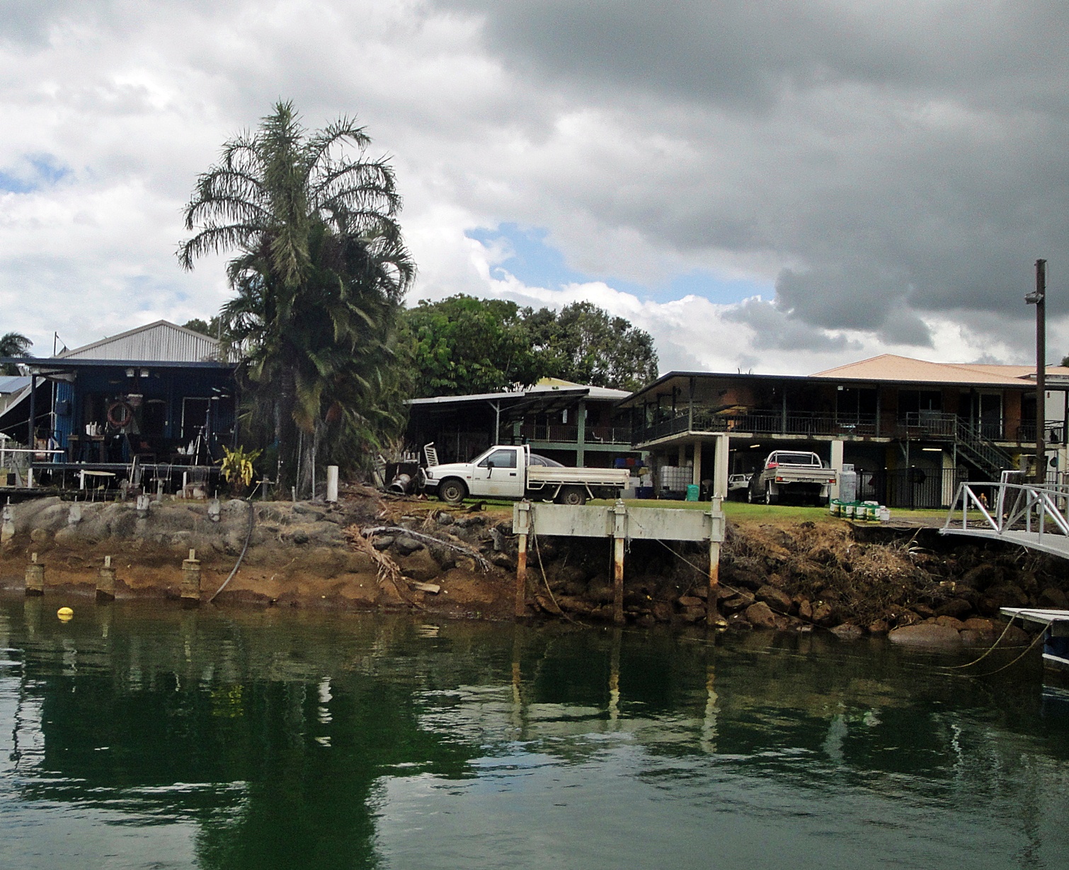
The next morning we moved on to Innisfail, a small town up the Johnstone River. We timed our departure to reach the mouth of Johnstone River at high tide to cross the sandbar. In fact, it was shallow all across the entrance and up the river. We motored very slowly watching the depth guage carefully. The river has green murky water and is lined with mangroves. When the town comes into view, boats and jetties line the bank.


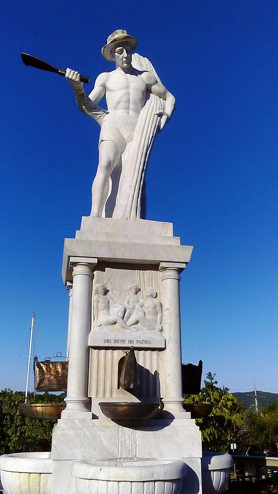
There is an Italian feel to some parts of Innisfail in its architecture such as this magnificent church

There is also a memorial to Italians who worked on the sugar plantations in the late 1800's. Italian immigrants who arrived to work as sugar cane cutters eventually settled and bought properties and established businesses and became a major political influence in the area.

There is an interesting collection of homes along the riverbank from the shabby chic to the grand mansion.

We stayed only one night, Friday night and it seemed to be busy ashore with music and lights.

The next morning we got up early to get provisions and motored slowly back down the river while the tide was high. We needed to wait for the next high tide to cross the sandbar so we spent the night anchored close to the entrance near a place known as Flying Fish Point. We used the waiting time to view and book airbnb accommodation in Cairns and Sydney - sadly, plans for our departure must be put in place with only 5 weeks left of our adventure.
The next high tide to cross the sandbar would be mid afternoon and the shortest day hop would be 20 nautical miles (about 3 hours), so Robert did his sums and calculated we would have enough height after 11.00am. We set off very slowly over the bouncy swells following the opposite direction of our exact route inwards recorded by the navigation program. It worked - our depth guage touched 1,2m at shallowest point, just enough for our keel and a small clearance, but we made it. Whew!
The next group of Islands is the Frankland Islands group. Tiny specks in the ocean best suited for anchoring in only calm conditions. We picked up a mooring buoy at Russell Island, a nice looking island with apparently good snorkeling amongst corals. It was too choppy to put the dinghy in the water and the swells built up. We had one of the bounciest nights of our trip, thanks to the swells rolling around the island.

We couldn't wait to get going the next morning to our next anchorage, Fitzroy Island, close to Cairns. It was a longish sail of over 5 hours in light wind and Robert put up the spinnaker in the last hour. It was a very pleasant sail, sadly it is probably our last long sail along the coastline as after Fitzroy we plan to head for Cairns and our berth in the marina.

Fitzroy is a delightful island, long sandy beach, easy snorkeling, nice walks and a functioning resort. Ferry boats from Cairns bring day trippers several times a day. Its a favorite anchorage for many cruising boats in its protected Welcome Bay. And it looked very welcoming as we rounded the corner into the bay.
We picked up the last available mooring buoy and went ashore to stretch our legs and enjoyed some snorkeling off the beach. Most of the coral close to the beach is broken and dead, but there are lots of tropical fish and much of the coral further off shore is still alive. One of the highlights advertised to visitors is the snorkeling but I can't help thinking that other islands have so much better coral but I suppose its quicker and cheaper for tour operators to offload visitors at Fitzroy instead of say the Family Group.
The island has a few walking trails so the next day we set off for the Summit walk. About two and a half hours for the circuit up to the highest point then round to the lighthouse and back down a different route. It started off in interesting rainforest vegetation which opened up a bit as we got higher to acacia and eucalyptus and stunted trees.


There were signs of recent fires near the top of the hill. Management of bush-land in eastern Australia is not easy. They regularly arrange controlled burns of small areas on cooler damp winter days so as to get gentle ground-level fires that burn only the dead plants and fallen dry branches that accumulate at the forest floor leaving the bigger trees undamaged. People have been burning Australian bush-land and forests since they first got here tens of thousands of years ago, but those were big wild uncontrolled fires that burned everything. This particular island was burned by Aboriginal people quite regularly until as recently as fifty years ago. These intense fires completely changed the nature of Australian vegetation. The original hardwood rain-forests were replaced by Acacia and Eucalyptus savannas. What we think of as typical Australian bush-land, dominated by those fire loving plants like the Black Wattles and Port Jacksons that have become such an invasive nuisance in South Africa, were originally quite rare in Australia. Now with careful management the rain-forests are slowly returning and expanding. On our walks we notice the very distinct transitions from hardwood rain forests lower in the valleys to the Acacia and Eucalyptus scrub-land on higher and drier land. The latter though is not unattractive, containing as it does a rich mosaic of different plant species not just the few that form the horrible thickets of aliens in South Africa.


The view from the lookout was spectacular, not only across the sea to the mainland, but also out over the ocean to the distant outer reefs.


We followed the path towards the lighthouse. On this rather windswept side of the island the vegetation is sparser with drier bushes and grasses. The lighthouse is perched on the north eastern point and rather bland as lighthouses go.

We followed a steep track downwards built for 4 wheel drive vehicles accessing the lighthouse. Parts of it is very steep and kudos to the driver who passed us waving as her little vehicle roared up the incline.
We went snorkeling in the afternoon and as I turned back towards the beach I saw a large Green turtle munching some stuff below me. I paused hoping not to scare it away and two other snorkelers arrived on the scene. The turtle seemed quite unconcerned with the audience following it and lazily swam about munching away. I saw Robert walking back on shore and waved frantically at him to join us. He was as chuffed as me to spend some time following the turtle. What a fabulous experience!
Day three on Fitzroy and we did the Secret Garden walk through lovely cool rainforest.


One of my favorite trees has these high lateral roots that grow sideways from the tree to add support in shallow ground. Apparently boomerangs were made from roots such as these which already had the right curved shape.

We then followed the short track to Nudey Beach. It is a pretty secluded beach, but no nudes on Nudey Beach.

We spent a week at Fitzroy Island, which was enough time for us to do the Summit walk again, occasional visit to Foxy's pub, try our hand at stand-up paddle boarding and kayaking and of course, more snorkeling. On the walks we saw many skinks scuttling away underfoot but we were really impressed with the monitor lizard at the edge of the beach which walked about staring up into the trees, probably for small birds. They can grow up to 1,2m, this one was more than about half a metre long.

On Sunday, our last day at Fitzroy Island, Robert went ashore for the usual water top up, we had lunch at the end of the beach and watched a new batch of boat departures and arrivals in the pretty bay. Time for us to move on too.


Robert put two lines in the water and after about only 20 minutes, he hooked this large fish. A mackerel of 80 cm.

We had originally planned a short sail to overnight at Turtle Bay on the mainland, but the swells seemed quite large so we sailed past to the more protected Mission Bay. It's Aboriginal land and requires permission to land. But we are content to stay on the boat and enjoy Robert's catch of the day for dinner.
1 comment:
Hi intrepid explorers! I hope you're not too sad that your amazing sailing adventure is coming to an end. Looking forward to seeing you both again in November when I'm also back in Cape Town. Your wonderful blog is like something out of National Geographic! All the fantastic experiences you've had and new things you've learnt....along with being master yachties and talented photographers....excellent fish-catchers, navigators, provision-hunters, deep sea swimmers, beach-combers ...and Rob's even learnt to keep his eyes open in photographs! Lots of love to you both! xx
Post a Comment